A good listing tells you what’s right with a property. Your job is to find out what’s wrong with it before you sign. Most of the problems that sink a homestead can be found from home, before you ever drive out: a flood zone, a feedlot upwind, a slope that never sees winter sun, a road that turns to mud every spring.
We use the same system on every property we look at, and it’s the one we teach. It has three steps. First, rule out anything that breaks one of your non-negotiables. Second, rule out anything with a threat you can’t control. Third, grade what’s left on 11 criteria and give it a letter: A, B or C. Only the A’s and the best B’s are worth a visit.
If you’re still building a shortlist, start with our guide to finding land for a homestead.
Free download
The Land Checklist
This whole system as a printable scorecard: your deal-breakers, the 20-mile threat check and all 11 criteria.
Step 1: Know your non-negotiables
Before you look at a single listing, write down two lists. Non-negotiables are deal-breakers: if a property has one, it’s out, however good the photos look. Negotiables are things you want but would trade for something more important.
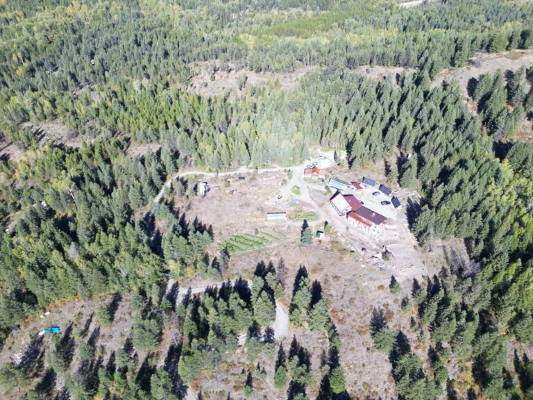
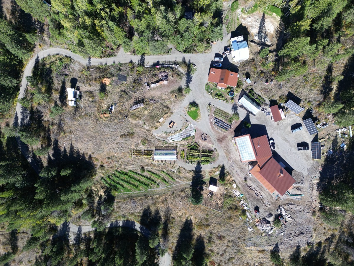
This is the most important step, because it’s the lens you’ll see every property through. It’s also personal. Here’s what our lead instructor, Curtis Stone, used when he bought his homestead in British Columbia.
His non-negotiables:
- No major road. He didn’t want thousands of cars a day driving past his home.
- Water. A well, catchment or another reliable source, one way or another.
- No north-facing slope. In a cold northern climate, it makes winters long and dark.
- Not deep in a valley. Valleys in mountain country lose winter daylight and can flood.
- Not in a flood zone, or anywhere prone to mudslides.
His negotiables included a south-facing slope (he ended up with southeast), at least 10 acres (he bought 40, with about 8 usable), a pond or creek, a woodlot, no neighbors within about 600 feet, and no easements across the land. He was flexible on all of them. He wasn’t flexible on the first list.
Yours will be different. Write them down anyway. With them in hand, you can rule out most listings in seconds.
Step 2: Rule out threats you can’t control
A threat is something around the property that could harm your health or your homestead, and that you can’t fix. If you find one, the property is out. There’s no point grading it.
To find threats, zoom the map out. Look at what surrounds the property for miles, not just what’s inside the fence line. Our team looks at everything within 20 miles of each property we review. Common threats:
- Flood zones and storm paths. Check FEMA’s Flood Map Service Center, and know whether you’re in tornado or hurricane country.
- Heavily sprayed agriculture. Large fields of conventionally sprayed crops next to a homestead mean drift on your garden and in your water.
- Oil and gas development. Wells, pads and fracking nearby can affect groundwater.
- Waste and industrial sites. Landfills, waste disposal and feedlots close by are usually an automatic no.
- A clear-cut uphill. One of Curtis’s friends bought below a large clear-cut. When heavy rains came, the runoff came straight through his property.
- Crime and decline. Check local crime and income data. Theft and vandalism are hard to fix from inside your fence.
Our team’s automatic rule-outs: a county that FEMA’s National Risk Index rates “relatively high” or worse, oil and gas pads, wind turbines or power lines right next to the land, mining within 1 to 2 miles, and a data center within about 6 miles. We also pass on land that’s mostly water or marsh, or so broken up that it can’t work as one homestead.
Some buyers also rule out cell towers nearby. If that matters to you, it belongs on your non-negotiables list.
Step 3: Grade what’s left on 11 criteria
The properties that survive the first two steps get a full assessment. The 11 criteria come from the Scale of Permanence, an idea first developed in the 1950s by Australian farmer and engineer P.A. Yeomans. The version we use was adapted by permaculture designers Dave Jacke and Eric Toensmeier. The criteria run roughly from the hardest things to change to the easiest.
| Criterion | What to look at | Weight |
|---|---|---|
| Climate | Hardiness zone, frost-free days, rainfall, sunshine, wind; fire, flood, landslide, tornado and hurricane risk | 2 |
| Geography | Elevation, slope, which way the slope faces, bedrock | 2 |
| Water | Sources and how many, flow, how water moves and pools, quality and contamination | 2 |
| Social and economic | Neighbors, nearby towns, zoning and bylaws, nearby industry, local supplies | 2 |
| Access and circulation | Driveways and roads in, their condition, room for new access, easements | 1.5 |
| Vegetation and wildlife | Ecosystems, invasive species, past farming, common animals, hunting rules | 1.5 |
| Microclimate | Wind, sun, shade and rain patterns, frost pockets, exposed ridges, cool spots | 1.5 |
| Buildings and infrastructure | Number, type and condition of buildings, fences, power and utility lines | 1.5 |
| Zones of use | Where the house, garden, animals, orchard and woodlot would go | 1 |
| Soil | Soil types, structure, topsoil, farming history, what grows well now | 1 |
| Aesthetics and experience | Views, how easy the land is to work, overall beauty | 1 |
Here’s what to check for each.
Climate
Climate can’t be changed, and for most people it’s the first thing that matters. Look up the hardiness zone, then go further with the Köppen-Geiger climate classification, which tells you far more about a place than its coldest night does. Check frost-free days, rainfall, sunshine, wind and rain shadows. Then check the safety risks: fire, flood, landslides, tornadoes and hurricanes.
Geography
Geography can be altered a little, but never fully changed. Note the elevation, how steep the land is, which way it faces and what’s underneath it. In the Northern Hemisphere, a south-facing slope gets more sun. Measure how much flat, usable ground there is. A big parcel can have very little.
Water
Water, geography and climate are usually the three that decide everything else. Look at what sources the land has, such as a well, spring, pond, creek or lake, and how many. For a well, ask for its records and how much it produces. Look at how water moves across the land, where it pools and where it has eroded. Then look at quality: is it drinkable, and is anything upstream or nearby that could contaminate it? The EPA explains how to test private well water.
Social and economic
You can’t change your neighbors or your town. Look at how many neighbors are close, how close, and whether they can see you. Is there a natural sound barrier? Are nearby places well kept? Then look further out: how far is the nearest town, and how big? Bigger towns usually mean more rules. Call the county about zoning, bylaws and permits for what you plan to do. Check for nearby industry, and whether you can buy most of your supplies locally.
Access and circulation
Access can’t be overlooked. Count the ways in, note what kind they are (a driveway, a four-wheel-drive track, a footpath) and what shape they’re in. Ask how hard it would be to add another, and whether any route crosses a neighbor’s land. Then think about how you, your animals and your work would move around the property day to day.
Vegetation and wildlife
Note what grows on the land and what lives there. Look for invasive plants and signs of past farming, such as years of sprayed monocrops. Find out which animals are common, what local problems people have with them, and what the hunting rules are.
Microclimate
Small differences across a property can change your growing season, your solar power and your comfort. Look for wind, sun and shade patterns, frost pockets in low spots, exposed ridges, and cooler areas near ponds or creeks.
Buildings and infrastructure
Unlike climate or geography, buildings can be moved, removed or improved, and existing ones can save you a lot of money. Count them, note their type and condition, and look at fences, gates, paved areas, and power and utility lines.
Zones of use
Sketch where everything would go. Zone 0 is the house. Zone 1 is what you visit several times a day, like the garden and greenhouse. Zone 2 is daily, like small animals. Zone 3 is several times a week, like fruit trees. Zone 4 is seasonal, like the woodlot. Zone 5 is wild land you visit rarely. Sketching zones shows problems a listing hides, like a garden that would sit in shade or a barn too far from the house.
Soil
Healthy soil gets you closer to growing your own food, but unlike climate, soil can be built. Check the soil types, structure and topsoil, and what the land was used for before. The USDA’s Web Soil Survey shows mapped soils. Look at what’s growing now: healthy native plants are a good sign.
Septic belongs here too. Whether a system can be approved depends on your soil, slope and local rules, so ask the county for records. The EPA answers common septic questions.
Aesthetics and experience
Everyone knows a beautiful property when they see one. Views, how easy the land is to work and its overall beauty all matter. They just matter less than the ten criteria above, which is why they carry the lowest weight.
How to score a property
For each criterion, ask one question: how much of your time, energy and money would it take to make this part of the property work for you? Give it a number from 0 to 4.
- 0: perfect, or close to it. Little or nothing needed.
- 1: minimal work or money needed.
- 2: a moderate amount needed.
- 3: a significant amount needed.
- 4: too much needed.
Multiply each number by the criterion’s weight, then add them all up. Lower is better. Here’s part of a worked example:
| Criterion | Score | Weight | Weighted |
|---|---|---|---|
| Climate | 1 | 2 | 2 |
| Geography | 3 | 2 | 6 |
| Water | 1 | 2 | 2 |
Do the same for all 11, then convert the total to a grade:
- A, 0 to 22.5: excellent. Strong in all the fundamentals. You’ll likely want to pursue it.
- B, 23 to 41: good. Strong in most of the fundamentals. It might be worth pursuing.
- C, 41.5 and up: poor. Weak in the fundamentals. Don’t spend your time on it.
Our course, Finding The Perfect Homestead Property, includes the scoring sheet that does the math for you, plus more than 50 real properties graded from A to C across North America’s climate zones.
The weights are a starting point. If water matters more to you than anything else, give it more weight. The point isn’t the exact number. It’s comparing every property the same way, so a great view can’t talk you into a place with a bad well.
Look for where the criteria meet
The criteria affect each other, and that’s where hidden advantages and problems show up. A south-facing slope (geography) gives you a slightly warmer microclimate. Fracking nearby (social and economic) can affect your groundwater (water). A clear-cut next door (social and economic) can erode your soil. When you score one criterion, ask how it changes the others.
Before you buy
Grading tells you which properties deserve a visit. It isn’t the last word. For the ones you’re serious about, price everything the land needs before you can live there: road work, well, septic, power, internet and clearing. Get real quotes, and get the inspections, local professional advice and document reviews the purchase needs. “Power nearby” isn’t a quote.
Want us to do the first pass?
This is the system our team uses every week. We rule out deal-breakers and threats within 20 miles, then grade what’s left. Only properties that grade A or B make the list.
Homestead Accelerator
Graded properties, every week
Members get new A and B properties every week, each with what’s good, what’s hard and what to check before you call.
Property Search
We search for you
Tell us what you need. We build your criteria, grade candidate properties remotely and prepare you for every visit. You still make the call.
Free class
How to find your dream homestead property
The most expensive mistakes buyers make, where good land hides, and how to use Google Earth to rule places out before you visit.